GPR & Utility locating is the process of identifying and mapping underground utilities, such as pipes, cables, conduits, and other infrastructure, before any excavation or construction activities take place. This process is crucial to ensure the safety of construction workers, prevent damage to existing utilities, and avoid costly delays and repairs.
Utility locating typically involves using a variety of techniques and technologies, including ground-penetrating radar (GPR), electromagnetic locators, and utility maps and records. These methods help accurately determine the location, depth, and type of underground utilities, allowing construction crews to work safely and effectively.
By precisely identifying the locations of buried utilities before excavation begins, utility locating helps construction projects proceed smoothly while minimizing the risk of accidents, service disruptions, and costly damages. It is an essential step in the pre-construction planning process, ensuring compliance with regulations and promoting efficient and responsible construction practices.
The purpose of residential utility locating is to ensure safety during any construction, renovation, or landscaping activities on residential properties.
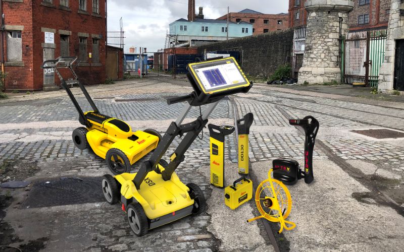
Using ground-penetrating radar (GPR) before digging is a fundamental practice in modern construction projects for several compelling reasons.
Ground-penetrating radar (GPR) is a cutting-edge technology used in construction for non-destructive subsurface imaging. By emitting radar pulses into the ground and analyzing the reflections, GPR creates detailed maps of buried objects and structures.
11 Municipal Dr, Suite 200 PMB Fishers, IN 46038
julian@eagleeyegpr.com
317-749-1633
Monday - Friday: 9AM - 6PM
11 Municipal Dr, Suite 200 PMB Fishers, IN 46038
Monday - Friday: 9AM - 6PM